Fall comes to different places at different times.
It comes to the Parkway first.
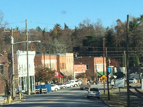
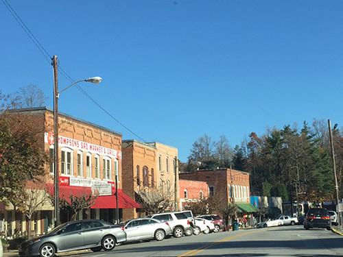
Around the time the leaves on the mountains are past their peak, Hendersonville is just beautiful.
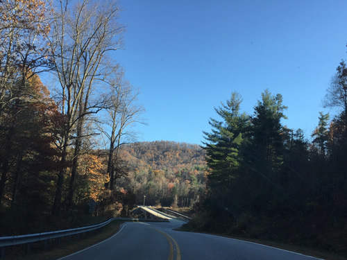
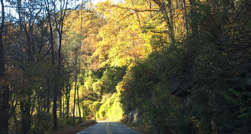
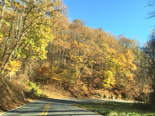
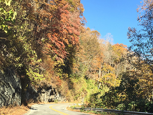
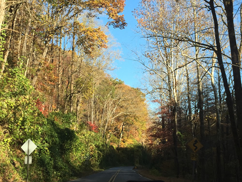
And as our area loses the colors, the drive down the mountain on the Old Spartanburg Highway is just stunning.
We drove South on 176, the Old Spartanburg Highway in November. The drive runs parallel to the Saluda grade through the small town of Saluda. The Saluda Grade is (or was) the steepest mainline railroad grade in the United States.
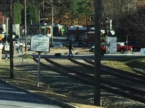
Saluda Grade
The steepest standard gauge mainline railway grade in the U.S. Opened in 1878; three miles long. Crests here.
Railroad builders in western North Carolina faced the task of laying track up the steepest mountain inclines in the eastern United States. At Old Fort in McDowell County, the solution involved the use of tunnels and numerous curves. At Saluda in Polk County, workers on the railroad met the challenge straight on. The rugged geography of the Green River Gorge just west of the town posed a separate challenge for highway builders in the 1920s.
Few places approach Saluda in their significance to railroad history. The three-mile-long grade that crests at Saluda is the steepest mainline, standard-gauge stretch of track in the nation. It rises an average of 4.7 feet for every 100 feet in length. This far outdistances its nearest rival, the 3.5 percent Santa Fe Grade in New Mexico. By comparison the maximum grade on the Old Fort-Ridgecrest line is only 2.2 percent.
The Old Spartanburg Highway leaves Henderson County and winds down the mountain through Saluda to Tryon near the South Carolina line.
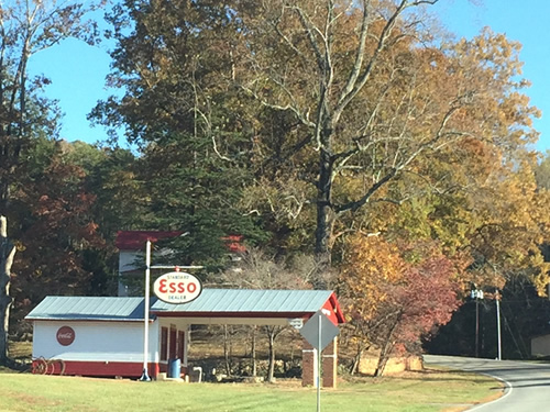
Saluda is a nice place to stop and walk around, maybe get something to eat.
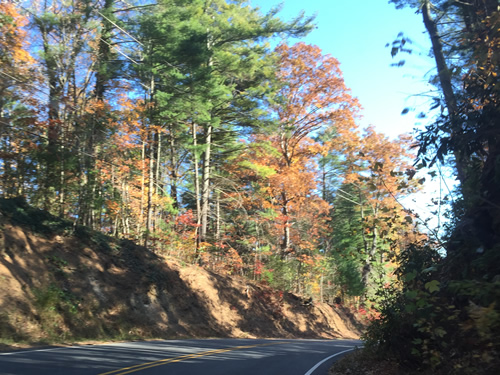
This drive is beautiful at any time of the year.
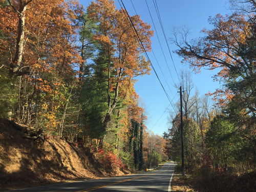
This used to be the main road before I-26 was built. Now it has very little traffic.
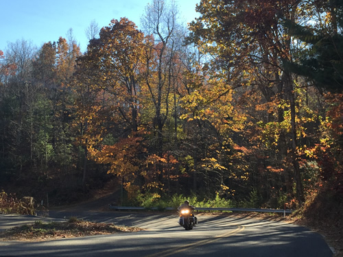
You see some motorcycles. Sometimes some convertibles.
This was on Sunday afternoon. We pretty much had the road to ourselves.
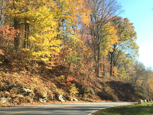
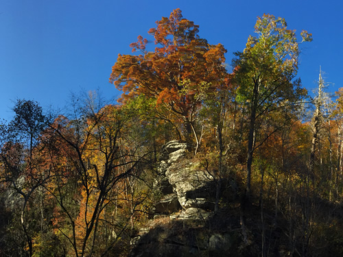
The further south we went, the brighter the colors were.
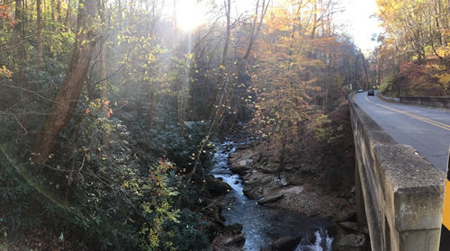
The road follows the Pacolet River.
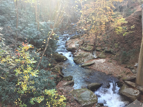
There is a place to pull over near a bridge.
This area is called the Tryon Thermal Belt.
The thermal belt refers to a mountainside zone where frost or freezing temperatures are less likely to occur than they are at either higher or lower elevations…In order to have a thermal belt you must live in the foothills or in a mountainous region. A typical thermal belt is formed on a mountainside and not on flat land. Heat absorbed by the soil during the day radiates from the soil surface of the mountain at night and rises into the free air. The radiation of heat actually makes the air closest to the soil surface colder than the free air. The cold air situated near the ground then moves downward into the valley below (cold air sinks). This movement of cold air to the valley, forces what warm air there is in the valley upward. During the night there is a continuous interchange of cold air from the mountain surface and warmer free air from the valley. Meanwhile there is a continuous movement of air above the mountain ridges. This rapidly moving air traps the rising warmer free air. Thus, a band of warm air is created with colder air above it and colder air below it. This band is a thermal belt.
We turn around when we get to Tryon. Sometimes we go to the interstate to head home.
Nearby
